LIMIT TRANSMISSION
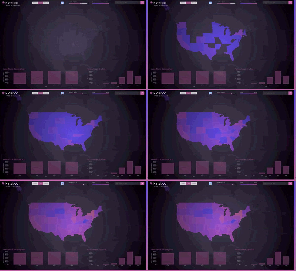
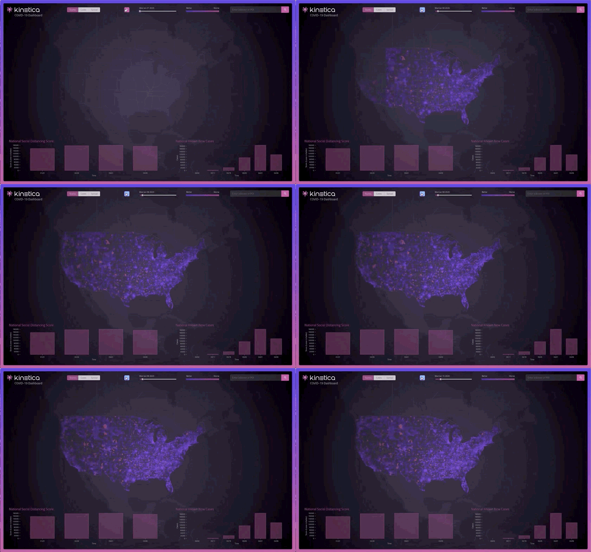
Kinetica helps public agencies identify areas of community spread. We combine anonymous mobile, social, and IoT location data as it flows in and visualize the movement on a map. Then we calculate a social distancing score by zip code, so municipalities can respond right away with safe distancing measures that help prevent transmission.
PREDICT HOT SPOTS
Kinetica can predict the next hot spots, so hospitals, public services, and essential businesses can prepare. Kinetica analyzes spread at a state, county, or city-wide level using contour analysis. Our machine learning-powered predictive analytics then calculate the next likely hot spots, giving emergency response teams a jump on planning where to send equipment and supplies, and how many resources to allocate there.


Get Supplies fast
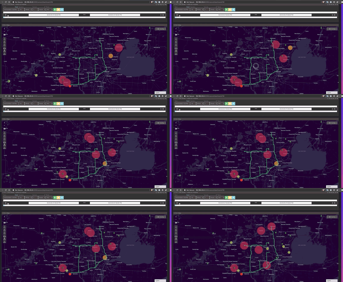
Get the right supplies to the right place at the right time. Whether it's medical equipment or food supplies, Kinetica's ML-powered predictive analytics determines where it's needed, and leverages geospatial capabilities to visualize real-time delivery fleets to get it there faster. Kinetica can combine and analyze streaming inventory, supply chain, personnel, and shipping data to fill in the gaps before hospitals, grocers, governments or customers ever see any.
Book a Demo!
The best way to appreciate the possibilities that Kinetica brings to high-performance real-time analytics is to see it in action.
Contact us, and we'll give you a tour of Kinetica. We can also help you get started using it with your own data, your own schemas and your own queries.
