A New Tool for Large GIS Datasets
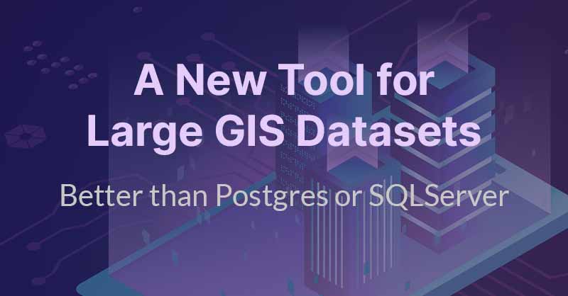
Today, many GIS users jump out of their systems and use Postgres or SQLServer to run spatial queries on larger datasets. While this is a nice workaround, this approach is limited in both scale and ease of use. With Kinetica, the power of geospatial analysis, viewing, and query on large geospatial datasets can be used directly from ArcGIS. The powerful combination of Kinetica and ArcGIS provides access to decision-makers as well as analysts for ad hoc questions and deeper dives. Comparison: Kinetica compared to PostGIS, GeoMesa, Apache Sedona Background Geographic Information Systems (GIS) platforms have undergone a number of technological changes, from mainframe to SaaS and from hierarchical network structures to relational databases. The core technology designed around points, lines, and polygons has adapted to new underlying technologies making them faster and more flexible. However, the major GIS systems are still fundamentally built on the same designs from the 1980s and 1990s. While new tools and interfaces have taken advantage of new innovations, GIS continues to focus on […]
Unlock New Insights with Kinetica and ArcGIS
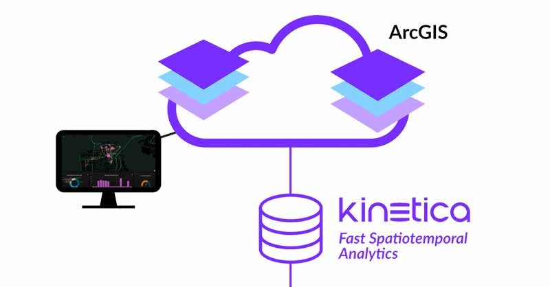
Esri’s ArcGIS is renowned as a robust solution for creating, managing, and analyzing geospatial data. With its comprehensive functionality and impressive capabilities, it has become the platform of choice for organizations that build GIS systems. From establishing spatial relationships to automating assets like utility networks and examining natural phenomena such as wetlands, ArcGIS excels at managing and analyzing static geospatial data types. However, as the world embraces the era of the Internet of Things (IoT) and data becomes more accessible across time and space, traditional GIS systems like ArcGIS encounter challenges in accessing and managing these voluminous datasets. This is where innovative databases like Kinetica step in. Kinetica is purpose-built to handle large streaming and historical databases efficiently, while also offering built-in spatial capabilities, making it an ideal solution for geospatial big data challenges. The seamless integration of Kinetica with ArcGIS empowers users to bridge the world of GIS with the immense potential of big data. This marks a significant leap forward for organizations seeking to derive meaningful […]