Visualize Large, Changing Geospatial Datasets with ArcGIS + Kinetica

Kinetica is able to power real-time visualization and analytics of geospatial data in ArcGIS – on a massive scale, and without the wait.

Esri Logo

On-Demand Webinar

Unleash the Power of ArcGIS and Kinetica Bridging the Gap Between GIS and Big Data Challenges

Kinetica: The Database for Geospatial Analytics

Kinetica was built for fast analytics on large and streaming geospatial data. ArcGIS with Kinetica enables you to perform sophisticated analysis and visualization of spatio-temporal data without the wait.

Real-Time Intelligence

Kinetica's lockless architecture, distributed ingestion, and vectorized query enable you to work with numerous sources of spatial and streaming data. Kinetica allows for simultaneous ingest and query, and avoids the need for constant re-indexing and re-aggregations as new data changes the picture.

Kinetica Architecture »
Advanced Geospatial Capabilities

Kinetica's lockless architecture, distributed ingestion, and vectorized query enable you to work with numerous sources of spatial and streaming data. Kinetica allows for simultaneous ingest and query, and avoids the need for constant re-indexing and re-aggregations as new data changes the picture.

Kinetica Architecture »
Lower TCO, Faster to Deploy

Kinetica's lockless architecture, distributed ingestion, and vectorized query enable you to work with numerous sources of spatial and streaming data. Kinetica allows for simultaneous ingest and query, and avoids the need for constant re-indexing and re-aggregations as new data changes the picture.

Kinetica Architecture »
Download a Copy

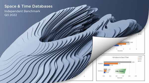
Radiant Advisors - Spatial and Time-Series Databases

"Kinetica outperformed PostGIS in every query and was the only database to pass all feasibility tests across geospatial, time-series, graph, and streaming."

Radiant Advisors - Spatial and Time-Series Databases

Fast Visualization of Big Geospatial Data

Data can be visualized at virtually unlimited scale with Kinetica's Web Map Service (WMS)

One of the core challenges with displaying spatial information is moving data from the database layer to the visualization layer. Serializing and moving millions to billions of objects from one technology to another takes time.

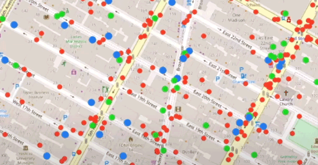
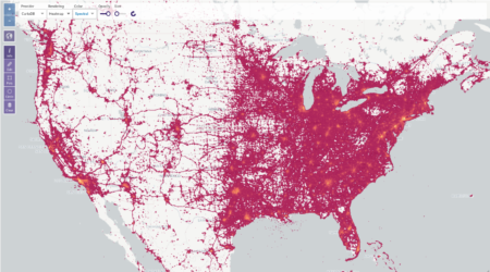
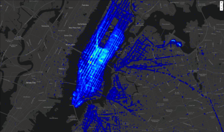
But geospatial data stored in Kinetica can be rendered in-database, into a small WMS image layers, for display on top of basemaps with ArcGIS. This approach is blazing fast, even on massive datasets. With every pan and zoom on the map, Kinetica dynamically re-renders images using your live data source and sends them to the map.

Multiple layers
Multiple layers

Visualize and analyze different types of spatial data simultaneously. This feature is particularly useful for applications that require the integration of different types of spatial data.

Multiple layers
Multiple layers

Visualize and analyze different types of spatial data simultaneously. This feature is particularly useful for applications that require the integration of different types of spatial data.

Multiple layers
Multiple layers

Visualize and analyze different types of spatial data simultaneously. This feature is particularly useful for applications that require the integration of different types of spatial data.

Multiple layers
Multiple layers

Visualize and analyze different types of spatial data simultaneously. This feature is particularly useful for applications that require the integration of different types of spatial data.

ArcGIS + Kinetica

Innovation through Integration

Kinetica now integrates easier with ArcGIS to bring together these complementary technologies to modernize IoT workloads. Data in Kinetica can be made available to ArcGIS through ArcGIS JDBC connector and through the ArcGIS Python API. Users can then use ArcGIS as a visual analytics environment with all the relevant functionality necessary to process, analyze, and display spatial data precisely and accurately.

Try Kinetica Now:

Kinetica Cloud is free for projects up to 10GB

Get Started
White Paper

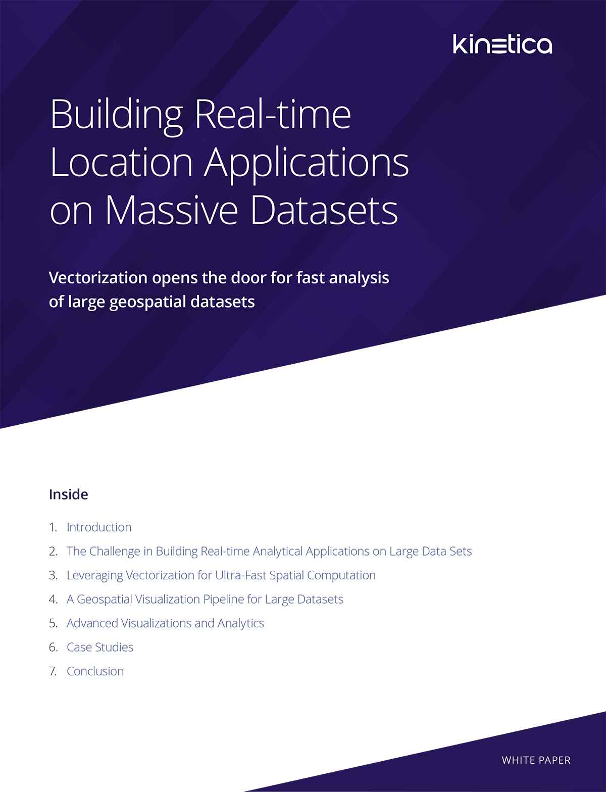
Build Real-time Location Applications on Massive Datasets

Vectorization opens the door for fast analysis of large geospatial datasets

Download the white paper
Build Real-time Location Applications on Massive Datasets

Frequently asked questions

How does Kinetica plug into an existing ArcGIS environment?
Data in Kinetica is exposed to ArcGIS through the ArcGIS JDBC connector and the ArcGIS Python API, with visualizations passed back via WMS tiles. ArcGIS becomes the visual analytics environment while Kinetica handles the streaming-scale processing underneath.
Why use Kinetica's WMS pipeline instead of shipping points to ArcGIS?
Serializing and moving millions to billions of point objects to a client tier is the core bottleneck for big spatial visualization. Kinetica renders tiles in-database into small WMS image layers that ArcGIS overlays on basemaps, and re-renders dynamically with every pan and zoom on the live data source.
What kinds of spatial visualizations can Kinetica feed back to ArcGIS?
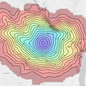
Kinetica supports multiple simultaneous layers, heatmaps, isochrones, and class-break renderings — useful for mixing different spatial datasets in the same view. All of these are generated server-side rather than rendered in the GIS client.
How does Kinetica handle continuously changing IoT data without re-indexing?
Kinetica's lockless architecture, distributed ingestion, and vectorized query allow simultaneous ingest and query, so you don't pay constant re-indexing or re-aggregation costs as new data arrives. That's what makes IoT-scale workloads in ArcGIS practical.
How do I try this without a heavy procurement cycle?
Kinetica Cloud is free for projects up to 10 GB, which is enough to prototype an ArcGIS + Kinetica integration end to end before scaling up.

To provide the best experiences, we use technologies like cookies to store and/or access device information. Consenting to these technologies will allow us to process data such as browsing behavior or unique IDs on this site. Not consenting or withdrawing consent, may adversely affect certain features and functions. Cookie Policy