All Posts
Developer Blog

Analyze and Interact with Millions of Points of Geospatial Data on the Fly

Hari Subhash
Analyze and Interact with Millions of Points of Geospatial Data on the Fly

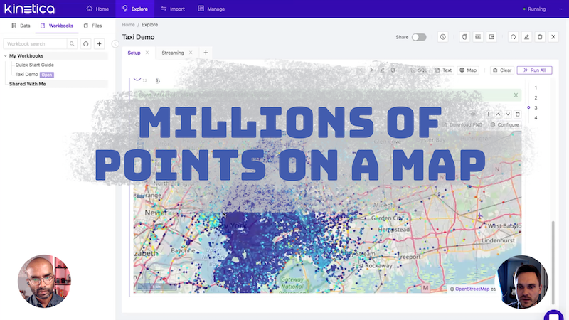
Spatial data analysis is computationally intensive. Most solutions grind to a crawl at a few million points.

But recent advances in parallel computing create opportunities to challenge these computational constraints. Kinetica's vectorized spatial function library can perform computations on the fly on massive amounts of spatial data. 

Matthew Brown shows us some of these capabilities using Kinetica Workbench in this demo.

To provide the best experiences, we use technologies like cookies to store and/or access device information. Consenting to these technologies will allow us to process data such as browsing behavior or unique IDs on this site. Not consenting or withdrawing consent, may adversely affect certain features and functions. Cookie Policy